HOME | DOWNTOWN | HOUSES AND APARTMENTS | COMMERCIAL BLDGS. | MISCELLANEOUS LOCATIONS | LINKS | NEXT PHOTO
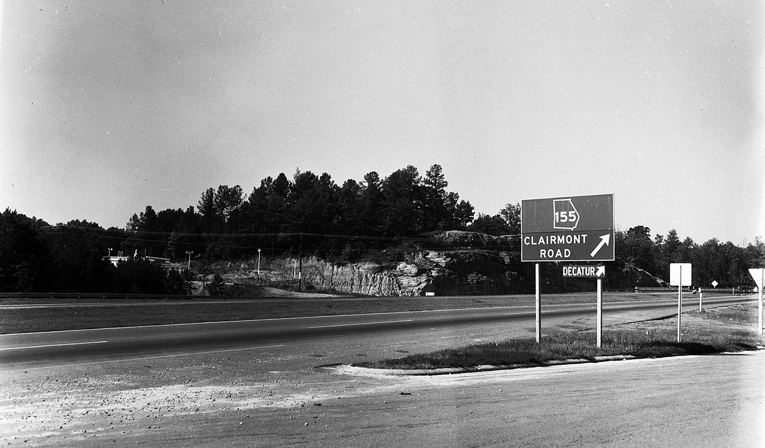
Here we have a 1959 photo showing the North Expressway (I-85 in today's parlance) at the intersection of Clairmont Road. The freeway system in Atlanta was undertaken as a result of a 1946 study of the city's traffic patterns conducted by the H.W. Lochner Company of Chicago. The Lochner Plan, as it became known, was the blueprint for what eventually became Atlanta's portion of interstate highways I-20, I-75 and I-85. The expressway's footprint in 2013 is quite a bit larger than it was in '59, when there were two lanes in each direction and no dividing wall separating the northbound motorists from the southbound. Today, the road is six lanes in each direction.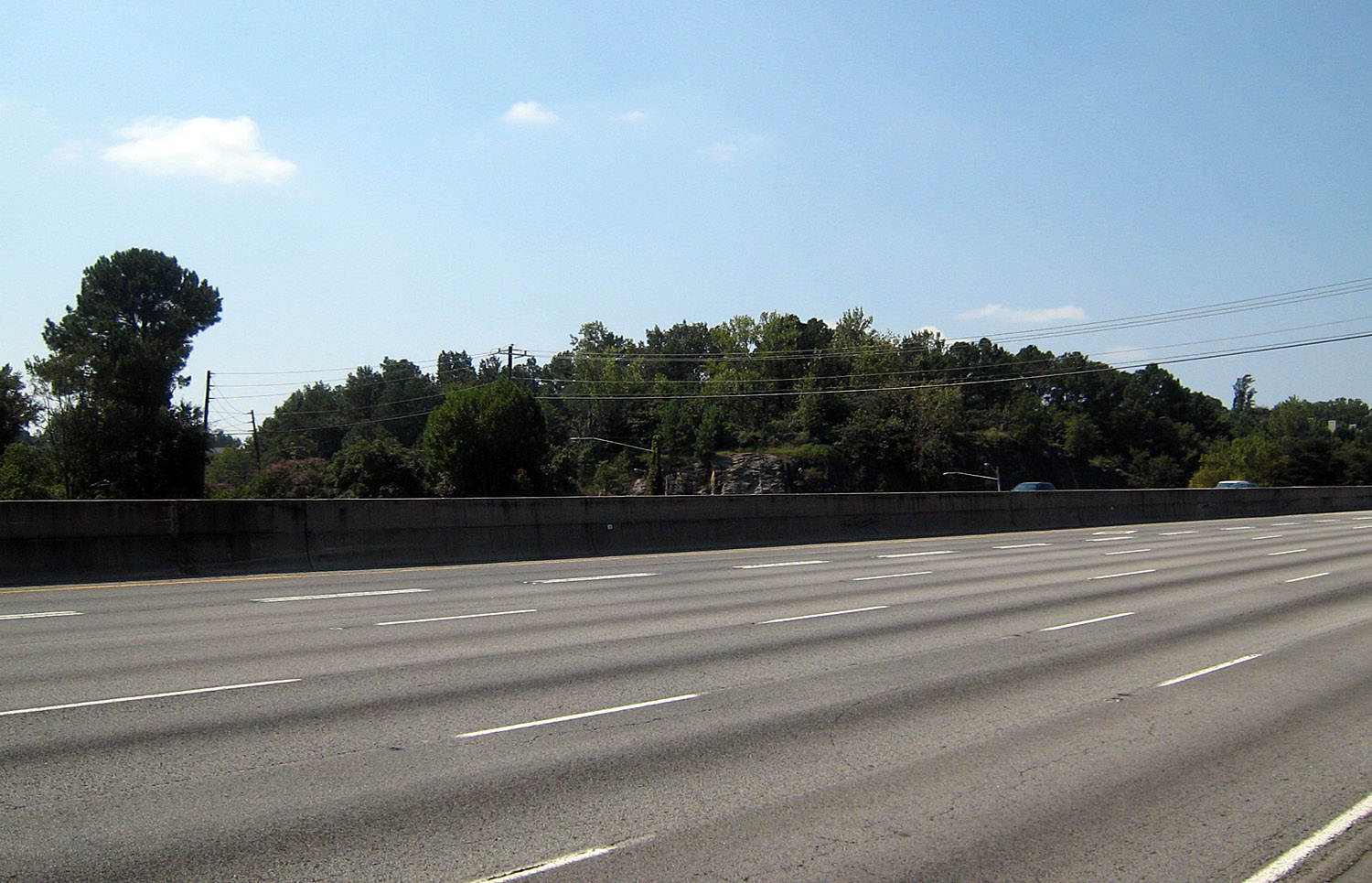
HOME | DOWNTOWN | HOUSES AND APARTMENTS | COMMERCIAL BLDGS. | MISCELLANEOUS LOCATIONS | LINKS | NEXT PHOTO