HOME | DOWNTOWN | HOUSES AND APARTMENTS | COMMERCIAL BLDGS. | MISCELLANEOUS LOCATIONS | LINKS | NEXT PHOTO
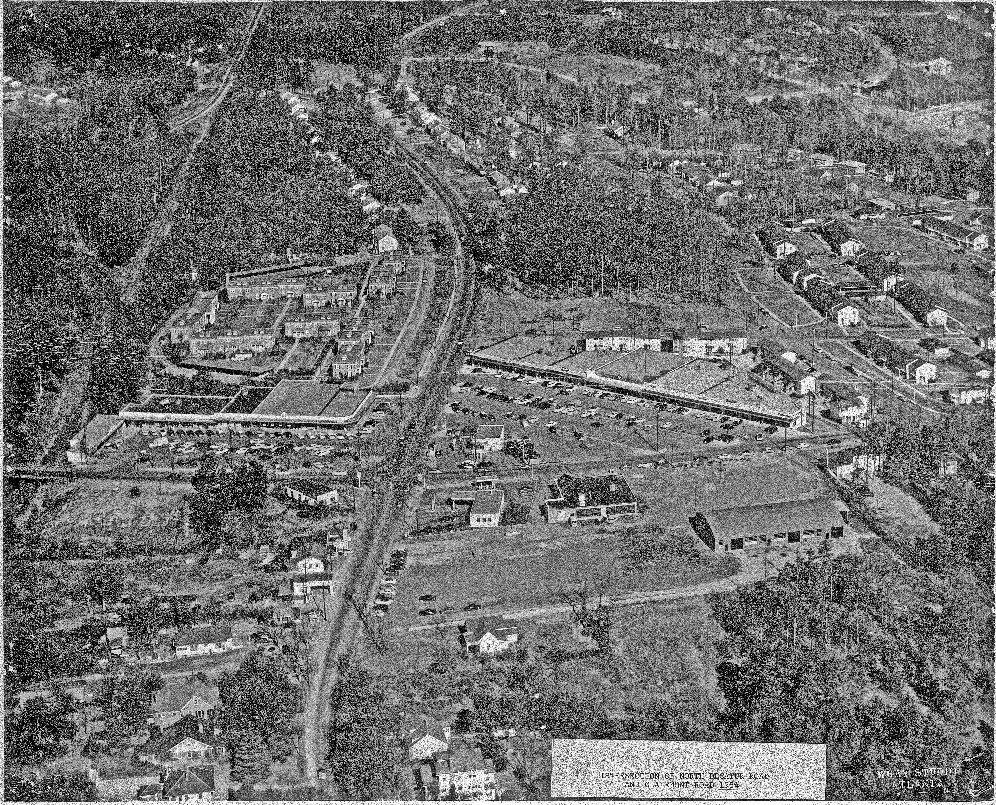
Seen here is a 1954 aerial photo showing the intersection of Clairmont Road and North Decatur Road. The perspective is looking north along Clairmont Road. The southernmost portion of Clairmont that's visible in the photo seems to be located approximately where Clairmont Avenue turns into Clairmont Road, which is at the edge of the Decatur city limits, if I'm not mistaken. Many thanks to Leonard Thibadeau of Thibadeau Realty for sharing this photo. More contributions from him are on the way. More aerials of this vicinity can be accessed here. Google map