HOME | DOWNTOWN | HOUSES AND APARTMENTS | COMMERCIAL BLDGS. | MISCELLANEOUS LOCATIONS | LINKS | NEXT PHOTO
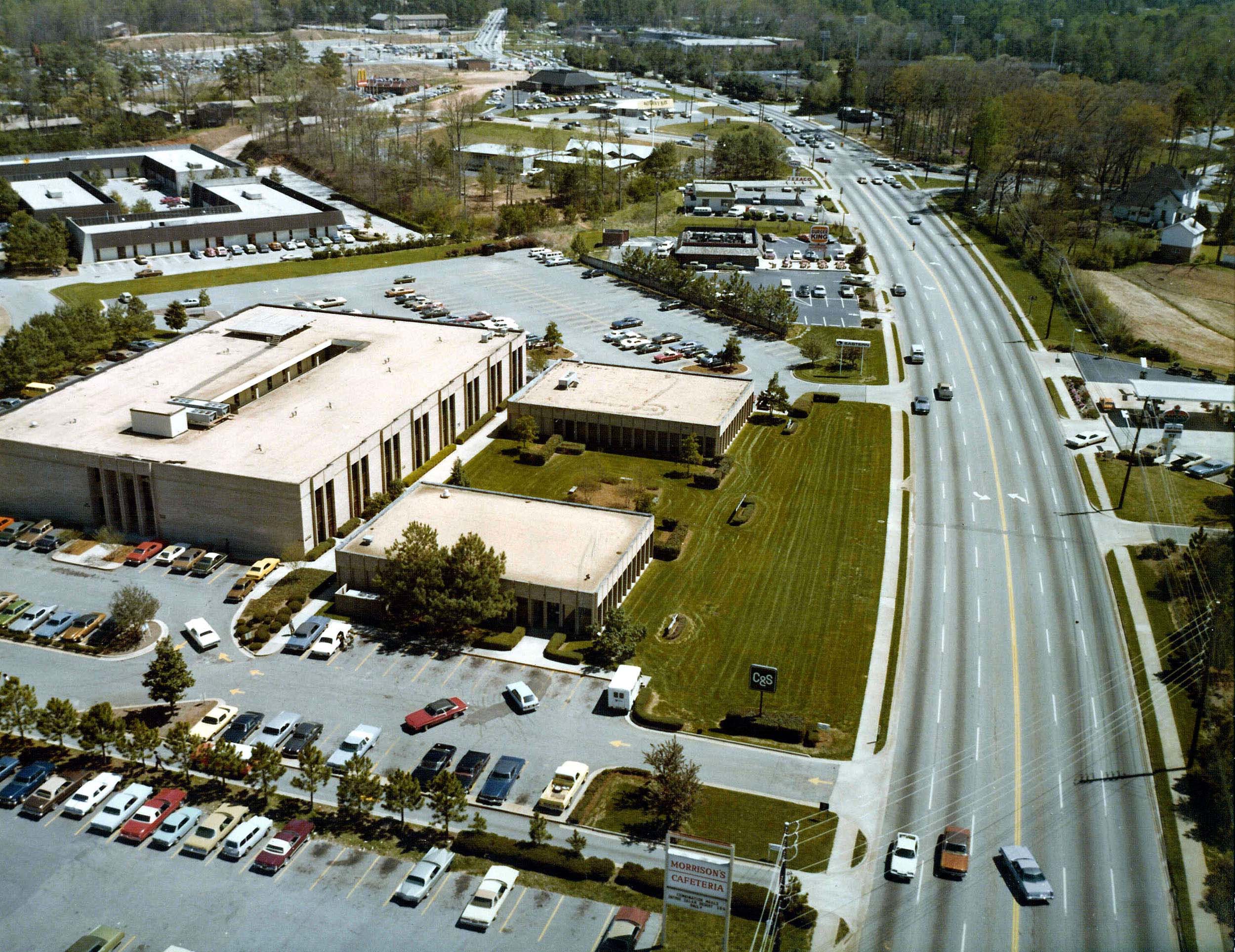
This aerial photo looks to the
southeast along North Druid Hills Road, toward its
intersection with Briarcliff Road. I don't have a
specific date for the picture, but based upon the vehicles in
the picture, my guess is that it was taken sometime around the
late 70s. One of the many remarkable things about the
picture is the farmhouse seen near the upper right
corner. The property was used as a dairy farm for much
of the 20th century. The buildings were razed in the
early 1980s and the land upon which the house stood is part of
Loehmann's Plaza, the large shopping center at the southwest
corner of Briarcliff and N. Druid Hills
Roads. Google
map
HOME | DOWNTOWN | HOUSES AND APARTMENTS | COMMERCIAL BLDGS. | MISCELLANEOUS LOCATIONS | LINKS | NEXT PHOTO