HOME | DOWNTOWN | HOUSES AND APARTMENTS | COMMERCIAL BLDGS. | MISCELLANEOUS LOCATIONS | LINKS | NEXT PHOTO
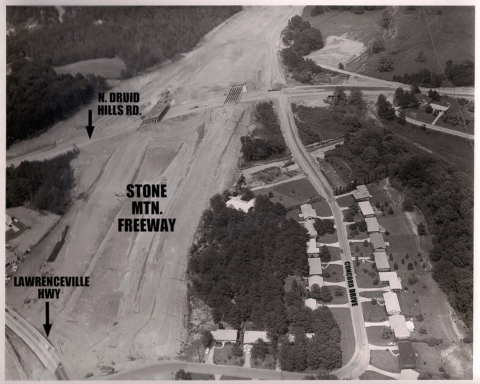
This circa 1968 photo gives us
an aerial view looking northeast and showing the construction
of the Stone Mountain Freeway, which was completed in
1970. Many thanks to Leonard Thibadeau for sharing
this.
In the 1970s, the Dept. Of
Transportation planned to extend the freeway through the heart
of the Medlock Park and Druid Hills neighborhoods (and beyond)
all the way to the Downtown Connector. The map on the
next page shows a portion of this proposed route. And
even more about this freeway maximizing plan can be seen here.
Google
map